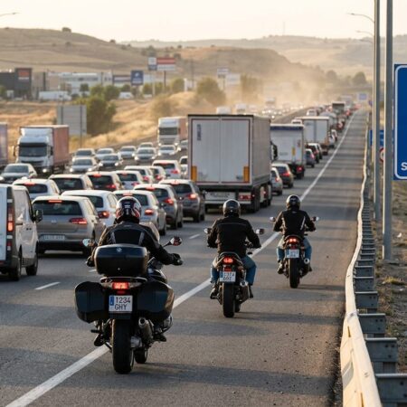





Following the intense heat at the end of last week, we have a week when holidays are still at the forefront of many people’s minds, especially with the national holiday on Tuesday, but as for the weather this week, the Meteored network predicts that Monday and Tuesday, the red day, will see little cloudy skies in much of Spain. In the far north there could be some light rain, while in the afternoon the clouds will grow, which could leave some storms in the Pyrenees, the Iberian System and in other mountain areas in the eastern half.
Temperatures will drop in the Canary Islands, but they will still remain very high. They will still touch 40 ºC in points of Gran Canaria and the eastern islands, with minimums that locally will not drop below 26-28 ºC. In the Peninsula and the Balearic Islands, more normal values are expected for the time of year. In Córdoba they will touch 40 ºC on Tuesday. On the other hand, on the shores of the Cantabrian they will not exceed 25 ºC.
If the forecasts of their reference model are met, after the bridge (which coincides with the end of the heatwave) the trend is for temperatures to rise progressively in most of the country, especially in the final stretch of the week, when a new mass of fairly warm air could arrive. However, it will not be as powerful as recent events. In the Canary Islands the thermal decrease will become more acute.
The rest of the week will be dominated by a stable and dry environment in Spain, with some weak and scattered rainfall in the northern third and possible storms in the Pyrenees, the Iberian System and other mountainous areas in the eastern half. In principle they will not leave large accumulations of rain, but they could come with quite a lot of electrical phenomenon and punctually intense gusts of wind.
After the end of the heatwave, a radical change in the weather situation is not expected, and temperatures will even rise again during the final stretch of next week.
Will we have a new heat wave?
The maps show that at the end of the week we could have a new episode of high temperatures, which would be above the average for the dates. We would be facing daytime values of 40 ºC or more in Andalusia, Meseta Sur and the eastern half. It is too early to say that a new heat wave is arriving, but in any case, we would not be facing a situation as extreme as the one we are experiencing in recent days.
The post What will the weather have in store for this week in Spain appeared first on Spain Today – Breaking Spanish News, Sport, and Information.
Other Articles