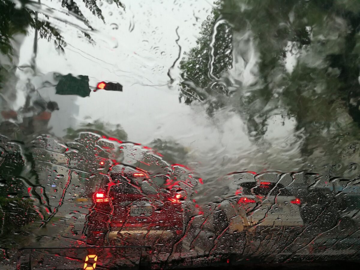






Through much of the weekend, parts of Spain have finally seen much needed rain, as well as a mixed repertoire of phenomena such as sea sleeves, a tornado, hailstorms, flooding, and even the appearance of snow back to some mountain ranges, but, despite the need for rain, forecasters are predicting it could be potentially dangerous from Tuesday in places.
These stormy downpours, so typical of this period, are very irregular, so they are not going to solve the serious drought suffered by some Spanish regions at all. However, where the showers discharge, they alleviate the situation locally. Unfortunately, as May progresses, the probability of having Atlantic storms with widespread and moderate rains decreases.
But that instability will continue for a few more days, and the downpours will probably end up affecting a large part of the country, although very unevenly.
Monday was predicted to be a transition day, with a cold air pocket located over the central Mediterranean, where the meteorological situation is quite complicated. The flow from the north accentuated and the precipitations will persist in the extreme north, with snow again in high places, and everywhere else, stable weather and higher temperatures in the southern half.
A DANA could arrive from Tuesday
But, after Monday, instability could return to a large part of the territory. The Iberian Peninsula seems to be under a descending branch of the polar jet in the short and medium term, which could lead to very contained temperatures and drops of cold air.
Between Tuesday and Wednesday, the trough will stretch out over southwestern Europe, and a DANA could well end up dropping, which will tend to head towards the area around the Peninsula, where it could remain for a few days. If this scenario is fulfilled, we would have normal temperatures or cooler than normal for the dates, and also showers and storms that would be intense in some areas.
At the moment though, even though meteorologists are monitoring the situation, uncertainty is very high, which on the other hand is very normal considering that the DANAs are very chaotic. It will be necessary to outline the forecast in the following days, but for now the maps show that it could be located on the Mediterranean coast.
Looking ahead, the situation in the medium-long term is very interesting, since models created by Meteored indicate that the disconnections would continue to occur in the area around the Peninsula, so if that happened we would be facing a period of highly variable environment, with downpours spread over a good part of the geography. It will not erase the problem of the drought in one fell swoop throughout the country, but it will alleviate it considerably in some areas at the gates of climatological summer, which begins on June 1.
The post Heavy rain and flooding risk intensifies appeared first on Spain Today – Breaking Spanish News, Sport, and Information.